.svg "cog icon (1)")


23/01/2023
Edozo Occupiers - No Occupiers message
A new message has been added to inform you when a search for an 'Area' on the Areas page has returned no results
Also allowing you to email occupiers@edozo.com and request that a geofenced area is added to the location that you entered in your search.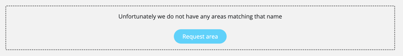
23/01/2023
Edozo Occupiers - No Occupiers message
We have added a helpful message to inform you when you are in an location of the map that does not have any occupier data.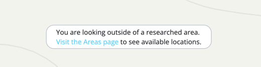
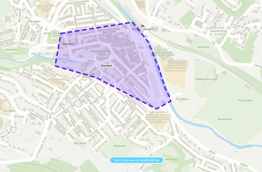
23/01/2023
Edozo Occupiers - Zoom to view occupied buildings
You can now click a new call to action on the map to zoom straight to the map level that we load in our occupier data.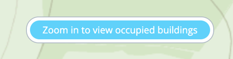
23/01/2023
Edozo Maps - Eastings & Northings Finder
You can now right-click on an area that you wish to obtain the eastings and northings for and it will be displayed to you in the context menu, you can then simply left-click on the coordinates and the information will be copied to your clipboard, ready for pasting into the relevant doc(s)
Works in Print and Export mode.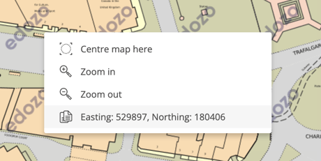
22/12/2022
Edozo Occupiers - Loading
Improved data loading animation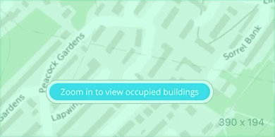
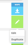
20/12/2022
Edozo Maps - Duplicate Map
- Duplicate a draft map from the 'My Maps' page 'Draft maps' tab
- Duplicate a purchased map from 'My Maps' page 'Purchased maps' tab

24/11/2022
Edozo Occupiers - Areas Guide
Added a mention of our new 'Areas Guide' within the Areas List 'Area tokens' ℹ️ so that end-users can find the guide with a bit more ease.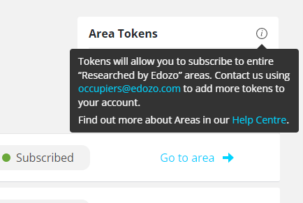
24/11/2022
Edozo Occupiers - Areas Guide
Added a mention of our new 'Areas Guide' within the Areas List 'Area tokens' ℹ️ so that end-users can find the guide with a bit more ease.
23/08/2022
Edozo Occupiers - Align Text
Is available for both text annotations and occupier names
Please Note: that the text will align based on the centre of the text box, therefore if you click 'align left' it will be left of the centre of the box.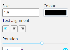
22/08/2022
Edozo Occupiers - Duplicate Text Box
CTRL+C with the text box selected will duplicate, alternatively you can use the side nav icon.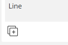
11/08/2022
Edozo Occupiers - Specific Rotation Degrees
Users will now be able to set a specific degrees for text rotation, making it far easier to ensure all text is lining up neatly at the correct angle.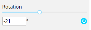
10/08/2022
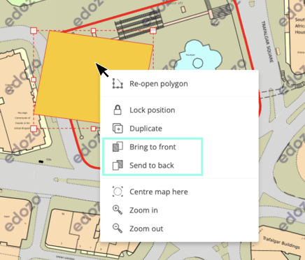
Edozo Maps - Z-index
Change object position/layer in the context menu
- Bring to Front
- Send to Back
09/08/2022
Edozo Occupiers - New Colour Option
Default Occupier polygon colour has now been added to our colour picker #FFFBCF.